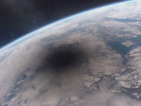
Nobody knows for sure how many people will travel from their homes to see the solar eclipse on Aug. 21, but the estimates place those numbers in the millions. This means that across the US, cities and towns, parks and nature preserves will see unprecedented crowds for the day.
Hotels and campgrounds along the way have been booked, farmers are renting out tent space in their fields for hundreds of dollars a night, and officials are expecting gridlock on highways far from the city.
Just knowing that the crowds will appear isn’t enough to avoid problems created by all of those eclipse chasers. Local governments need to have some idea of when the crowds will arrive, where they’re coming from and where they’re trying to go.
Eclipse 2017
Officials need to be able to be prepared for many times the normal level of vehicle traffic when it arrives, and they need to be able to see trouble spots when they happen.
Fortunately, many of these governments have access to geospatial data and services from companies like Environmental Systems Research Institute, Inc. (Esri), which draws data from a variety of sources to predict the flow of traffic and people and to help organizations handle the crowds and manage the logistics of such an event.
Fortunately, many of these governments have access to geospatial data and services from companies like Environmental Systems Research Institute, Inc. (Esri), which draws data from a variety of sources to predict the flow of traffic and people and to help organizations handle the crowds and manage the logistics of such an event.
Originally published on eWeek


